KANSAS CITY – LAND SURVEY SERVICES
RTK DRONE TECHNOLOGY
For large scale open projects such as “ALTA” and “Topographic” surveys we use drones with RTK technology. Real-time kinematic (RTK) data collection records GPS information and geotags images as they’re captured during drone flight.
Raw GPS data is sent from a base station on the ground to the drone. Then the drone’s onboard GPS combines that info and its own flight observations to combine all the survey photos together.
Drone footage also gives a real-time aerial view of the property and what is close to the property lines.

Boundary Survey
A boundary survey of the subject property will be made and the property corners will be located and verified or reset. A check for violations or encroachments onto or from the subject property will be made. This survey can be used, by the property owner, for the construction of a fence, structure, or other improvements. A certified drawing will be included.

Boundary Line Adjustment
When two adjoining land owners want to move the boundary line between them, a Boundary Line Adjustment survey will be conducted. This means a change in location of the property line between two or more existing adjacent properties or parcels. Land is taken from one parcel is added to an adjacent parcel.

Lot Split Survey
When a land owner wants to divide a parcel of land into two or more parcels it calls for a Lot Split Survey to be conducted. All of the new lots must have public access; no new streets can be created with the Lot Split survey.

Lot Consolidation Survey
When a land owner wants to consolidate two or more parcels into one single parcel, it calls for a Lot Consolidation Survey to be conducted. This survey is basically the opposite of a Lot Split Survey.

Subdivision Plat of Survey
A Subdivision Plat is a survey that creates multiple lots or pieces of land from one larger tract of land. A subdivision is used for the purpose of selling the property on smaller lots. The subdivision may create new public streets and right-of-way.


ALTA/NSPS Land Title Survey
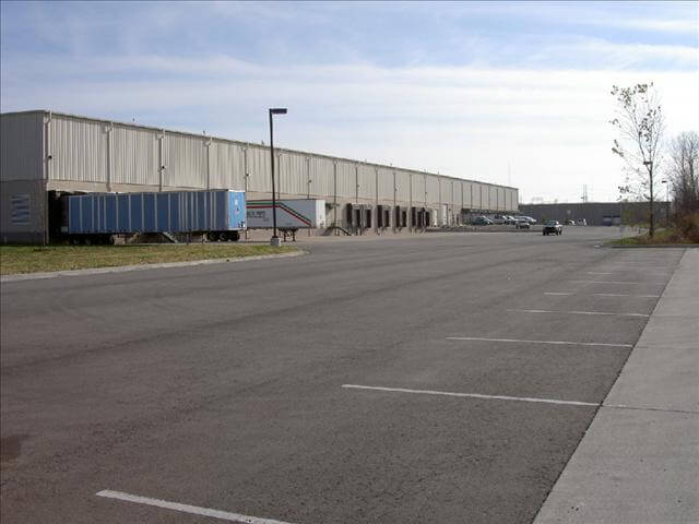
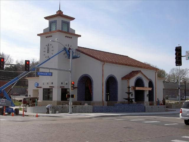
Mostly used for commercial and industrial properties, the ALTA/NSPS Land Title Survey is the most comprehensive type of land survey. It encompasses all areas of the boundary survey, improvement location and identification of any additional use or possession. These surveys are ideal for using a drone.
The aerial imaging from the drone eliminates a lot of “Traversing” around the property. Traversing is the movement and Triangulation of survey control points. Each setup usually takes about 15-30 minutes to complete as its own, without collecting any survey data. The Drone can eliminate up to 2 hours of lost time Traversing and it will also reproduce linework in a more timely manner. This can help save 10-25+ hours of data collection.


Architectural/Topographic Survey
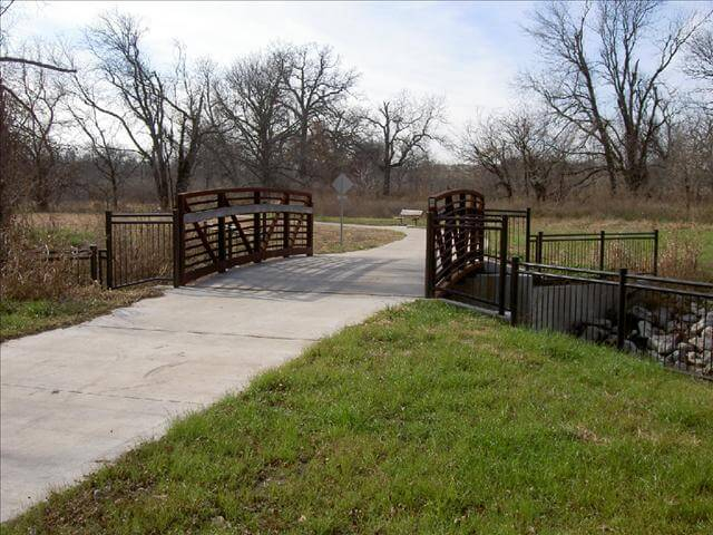
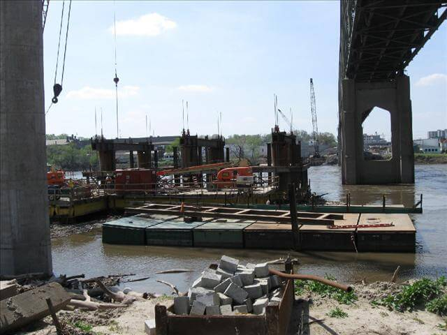
Architectural/Topographic Survey’s are usually conducted for architectural planning and engineering design projects. It is a survey of parcels or property determining surface ground configurations and locating all natural and artificial objects including; utilities, drainage ways, structures, ingress and egress to the property and any other visible characteristics of the property. An Architectural/Topographic Survey is usually performed in unison with the boundary survey, to show lines of possession.
Topographic surveys require us to open storm and sewer structures and measure the pipe depths as well as sizes. Using a drone helps on larger scale projects, like this, as it
1) Covers more ground in a timely manner
2) Generates contour lines based off the imaging programs and RTK data
3) Gathers more processible data over a greater area, thus giving you a better representation of the layout.
Flood Plain Surveys
Elevation Certificates / Letter of Map Amendment
If a property owner thinks their property has been inadvertently mapped in a Special Flood Hazard Area, they may submit a request to FEMA for a Letter of Map Change. A SFHA is defined as the area that will be inundated by the flood event having a 1-percent chance of being equaled or exceeded in any given year. A LOMC reflects an official revision/amendment to an effective Flood Insurance Rate Map. If the LOMC request is granted, property owners may be eligible for lower flood insurance premiums or the option to not purchase flood insurance. We recommend a two step process; the first step is obtaining a Elevation Certificate. The elevation certificate is need to purchase flood insurance but also may be used to support the second step, LOMA (Letter of Map Amendment).
LOMA – Letter of Map Amendment

Elevation Certificate

J & J Survey, LLC
8680A N. Green Hills Rd
Kansas City, MO 64154
Call (816) 741-1017
PROFESSIONAL SURVEYOR'S - KANSAS CITY
J & J Survey - Kansas City - Copyright © 2024